Height Model (DEM/DTM/DSM)
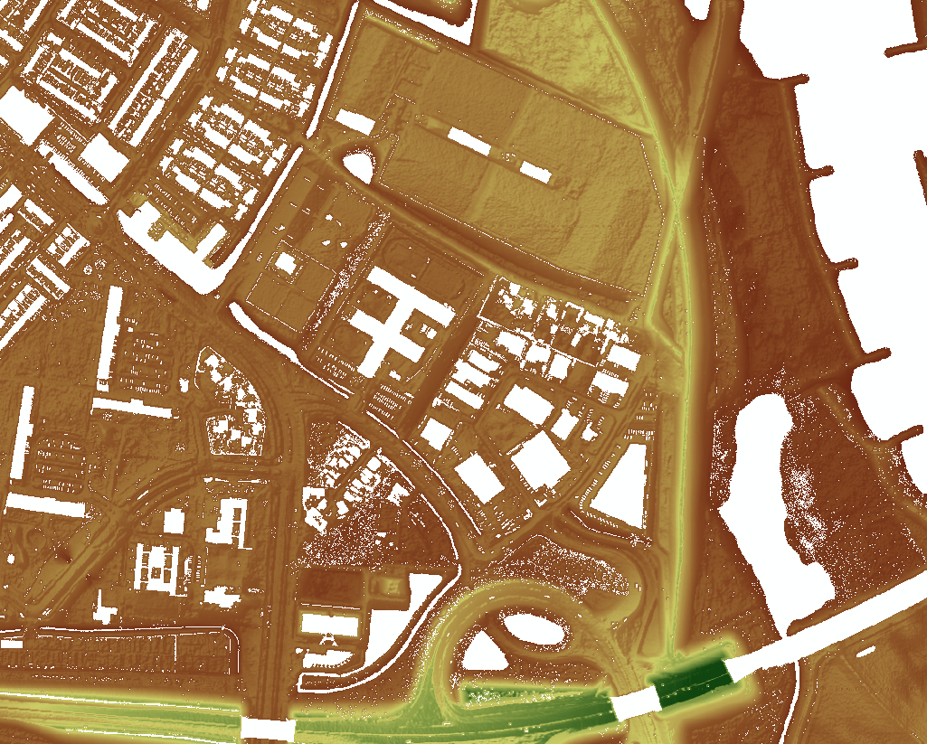
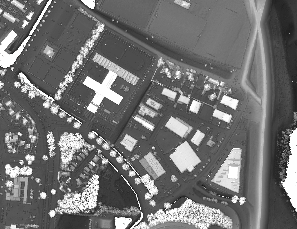
Height models often refer to digital elevation models (DEM), digital terrain models (DTM) and digital surface models (DSM). These three terms can be differentiated by the following definitions-
- DEM: Generic term covering digital topographic data in all its various forms as well as the method for interpreting implicitly of the elevations between observations (Maune et al., 2001).
- DTM: DTM is a synonym of bare-earth DEM (Maune et al., 2001).
- DSM: Model depicting elevations of the top of reflective surfaces, such as buildings and vegetation (Maune et al., 2001).
Height models are widely used in many geographic and spatial analyses for the purpose of modeling the land, water, soil, climate etc. It is also used for the production of orthophotos, making 3D city models, engineering and infrastructure design & planning and for the telecom industries to model signal propagation.
HawarIT produces different height models from the following data sources:
- Automatic extraction from the aerial stereo Images by high end photogrammetric tool.
- Manual extraction from aerial stereo model by 3D digitizing.
- Extraction of height models from LiDAR data.