
European standard, Asian workforce
Software & Geospatial Engineering—Delivered with Precision
Custom software, GIS, BIM, photogrammetry, and LiDAR services for government and enterprise teams. We turn complex engineering and geospatial data into usable systems, maps, and models.
HawarIT combines independent technical expertise with a Bangladesh back office to deliver strong price-performance value for customers in technical and geospatial domains.
Independent IT Expertise
Unique Price-Performance Value
Dutch/Bangladeshi Synergy
State-of-the-Art Technologies
Our services
Integrated IT and Geo-ICT support for data-driven projects
GIS DATA SERVICES
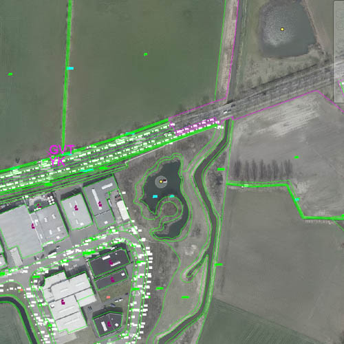
HawarIT specializes in the GIS market based on Autodesk, ESRI and OpenSource GIS products. The detailed technical background on modern web technologies which HawarIT has built up, gives an independent approach towards the GIS-engines used.
In some cases GIS-products can be used out of the box where datasets can be maintained in a closed CAD/GIS-driven environment.
PHOTOGRAMMETRY & LIDAR
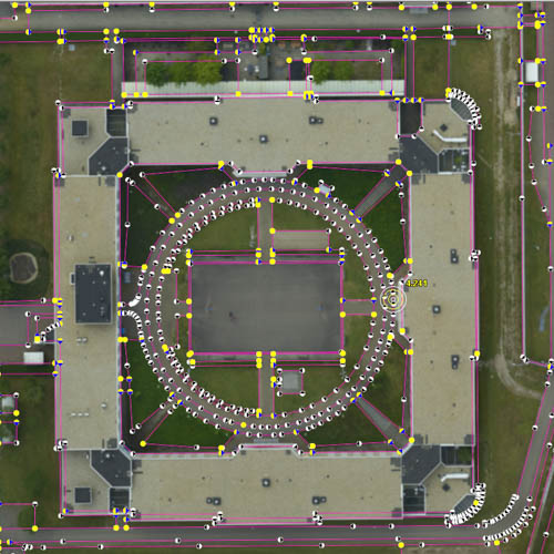
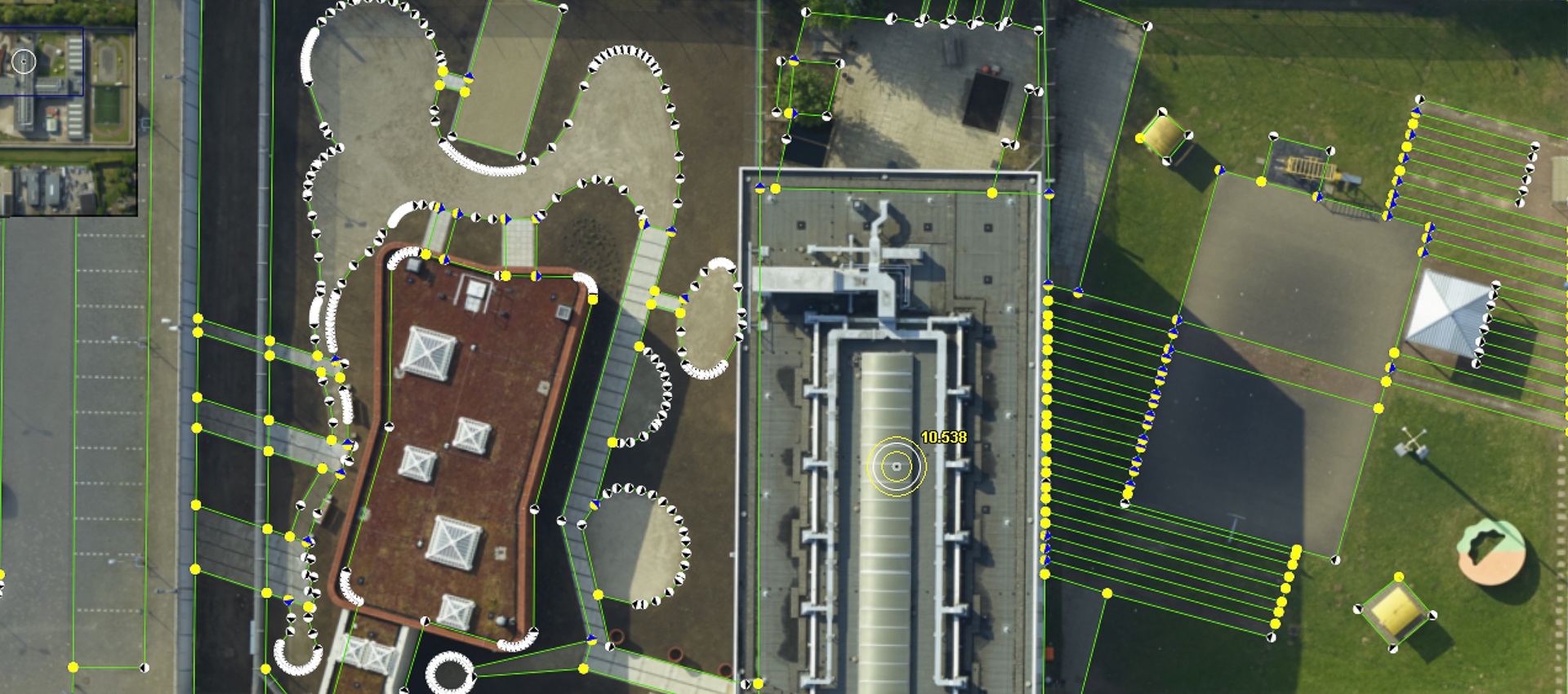
Transforming aerial, drone, and satellite imagery into precise 3D models, digital elevation models, and orthophotos. Photogrammetry is the science of making measurements from photographs. These photos/images are generally taken from aerial/drone survey or from satellite. The input to photogrammetry is generally Aerial/Satellite images, and the output is typically a digital elevation model, a orthophoto, a map, a drawing, a measurement, or a 3D model of some real-world object or scene.
Building Information Modelling
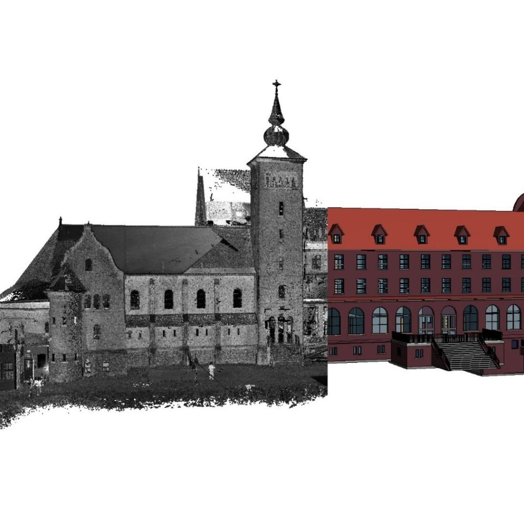
We turn complex data into precise digital twins. For eight years, HawarIT has provided top-tier BIM services, ranging from architectural planning and as-built documentation to detailed MEP installation modeling (HVAC, sewage, plumbing).
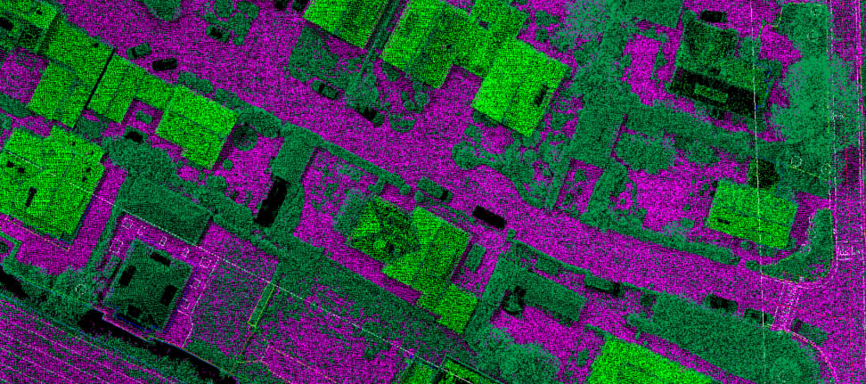
By integrating advanced LiDAR surveying (static, mobile, and airborne) and maintaining close collaboration with on-site installers and surveyors, we ensure our models are not just accurate—they are buildable.

SOFTWARE DEVELOPMENT
HawarIT has been developing software of a wide range of domains over the last 20 years. Some major domains include GIS Applications, Production Automation, Utility Tools and Website Development. State-of-the-art technologies have been used to develop these high-quality, customized and cost-effective software products at the doorsteps of the customers.

Geospatial Surveys
Offering conventional GPS, mobile LiDAR, and aircraft surveys to provide highly accurate terrestrial and 3-dimensional data.

Resource Placement
Managing IT resources through offsite, onsite, and hybrid models to ensure cost-optimized delivery and reduced project risks.



About our COMPANY
our partners in smart IT and GeoSpatial solutions
Established in 1994 from the need to associate administrative processes with engineering drawings, HawarIT has grown into an autonomous agency. With our dedicated back offices in Bangladesh operating since 2000, we specialize in linking graphical and alphanumerical data to deliver highly technical, independent expertise to the European market and beyond.
25+ years of industry experience
Dedicated offshore & hybrid teams
Specialized in CAD, GIS, and Web tech
High quality and operational flexibility
Who we work with
Scalable Engineering & IT Solutions for Every Enterprise
For over two decades, HawarIT has engineered customized, high-performance software and Geo-ICT solutions across a wide spectrum of industries. Whether deploying proprietary CAD integrations for specialized engineering firms or architecting massive spatial databases for international governments, our vendor-independent approach ensures that your technological infrastructure scales flawlessly with your operational ambitions.
Government & public-sector organizations
Reliable support for geospatial, survey, data modernization and digital-service initiatives.
Engineering & infrastructure companies
Technical production capacity for BIM, GIS, LiDAR and photogrammetry-driven workflows.
Private-sector technology & operations teams
Custom software, automation and managed delivery models for specialized operational needs.
Why work with us
A practical delivery approach built around quality, clarity and scale
1.
Understand your project
We review your operational context, data environment, technical scope and delivery expectations to define the right solution and team model.
2.
Build the right delivery setup
We align onsite, offsite or hybrid execution with the tools, skills and governance needed for smooth collaboration.
3.
Deliver with technical precision
Our specialists execute software, BIM, GIS, survey-data or point-cloud production work with a strong focus on quality and consistency.
4.
Grow with confidence
As needs evolve, we expand capacity, refine workflows and support long-term delivery continuity across projects and teams.
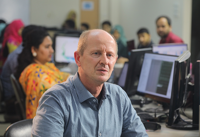
“Our mission is to empower your digital presence with cutting-edge solutions & strategies.”
– Cees Nieboer, Chairman

Our mission & vision
Turning technological challenges into successful, long-term deliveries
We demonstrate the highest standards of integrity, working collaboratively across borders to provide flexible, top-tier quality to our customers
25+
Years of experience
3
Global offices in NL, US & BD
Testimonials
Hear from our customers

Let’s start today!
Smart IT and Geo-ICT support for your next project
Trusted by worlds leading companies


