
GIS Viewer
GIS Viewer / GIS Data Viewer is a type of application where different vector and raster based geographic data is rendered in such way that users can access & view different useful information. There could be rendered geographic objects upon a base map in different layers. Some basic GIS functionalities also can be performed there.
HawarIT has vast experience of building state-of-the-art 2D/3D GIS Viewers. We have developed different GIS viewers for different Dutch governments who maintains roads and highway, buildings, water, municipalities/regional areas.
We are experienced in delivering customized viewers, where users can directly perform data editing, specific object related actions, import/export data in various formats, synchronize data in different organizations and more.
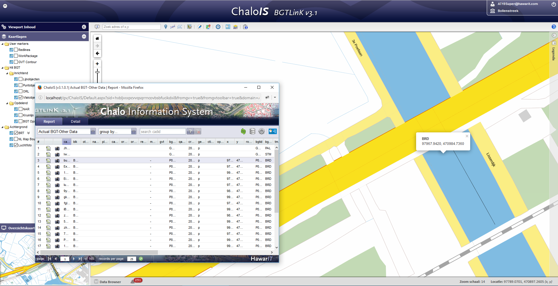
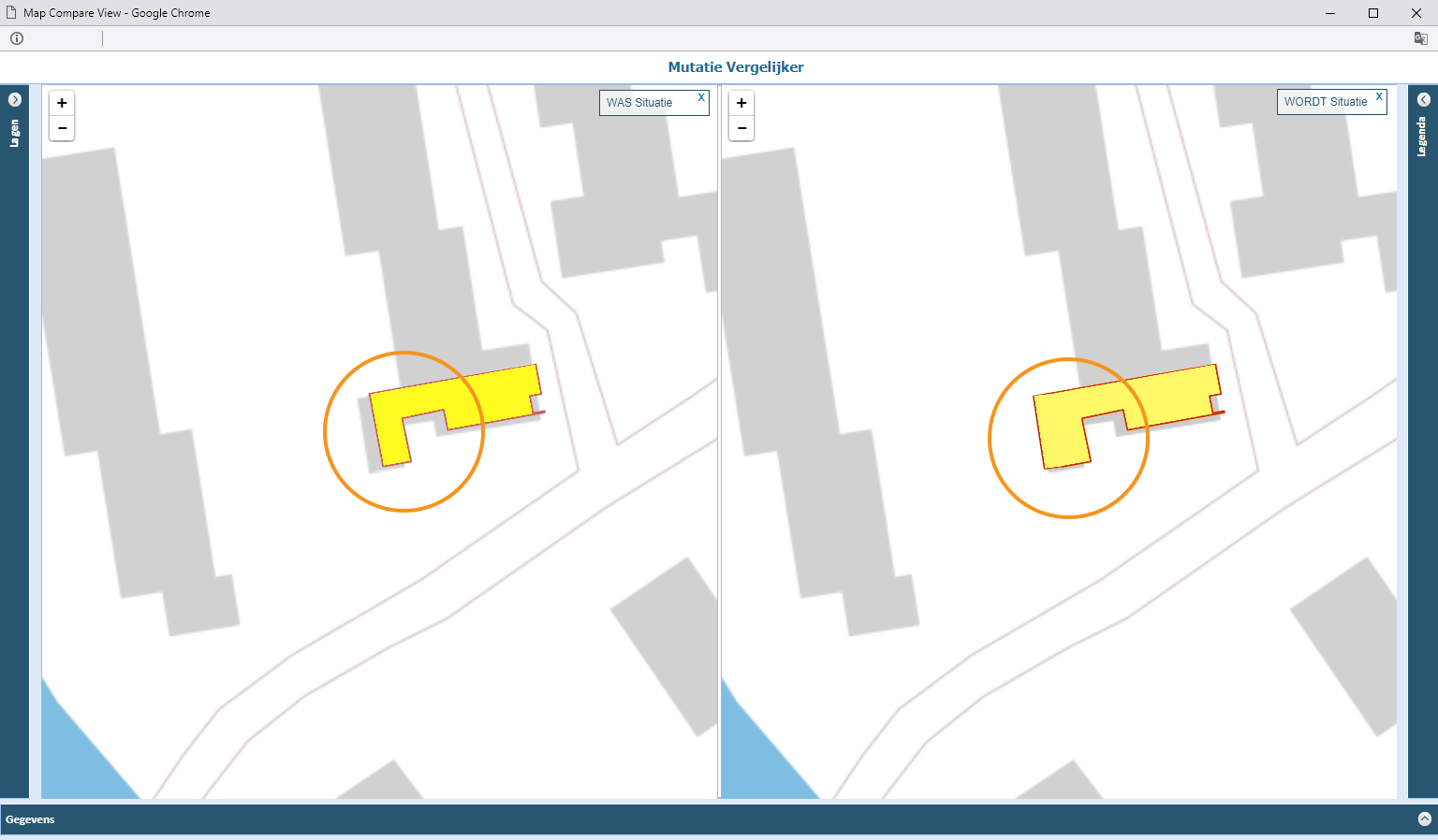
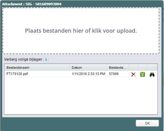
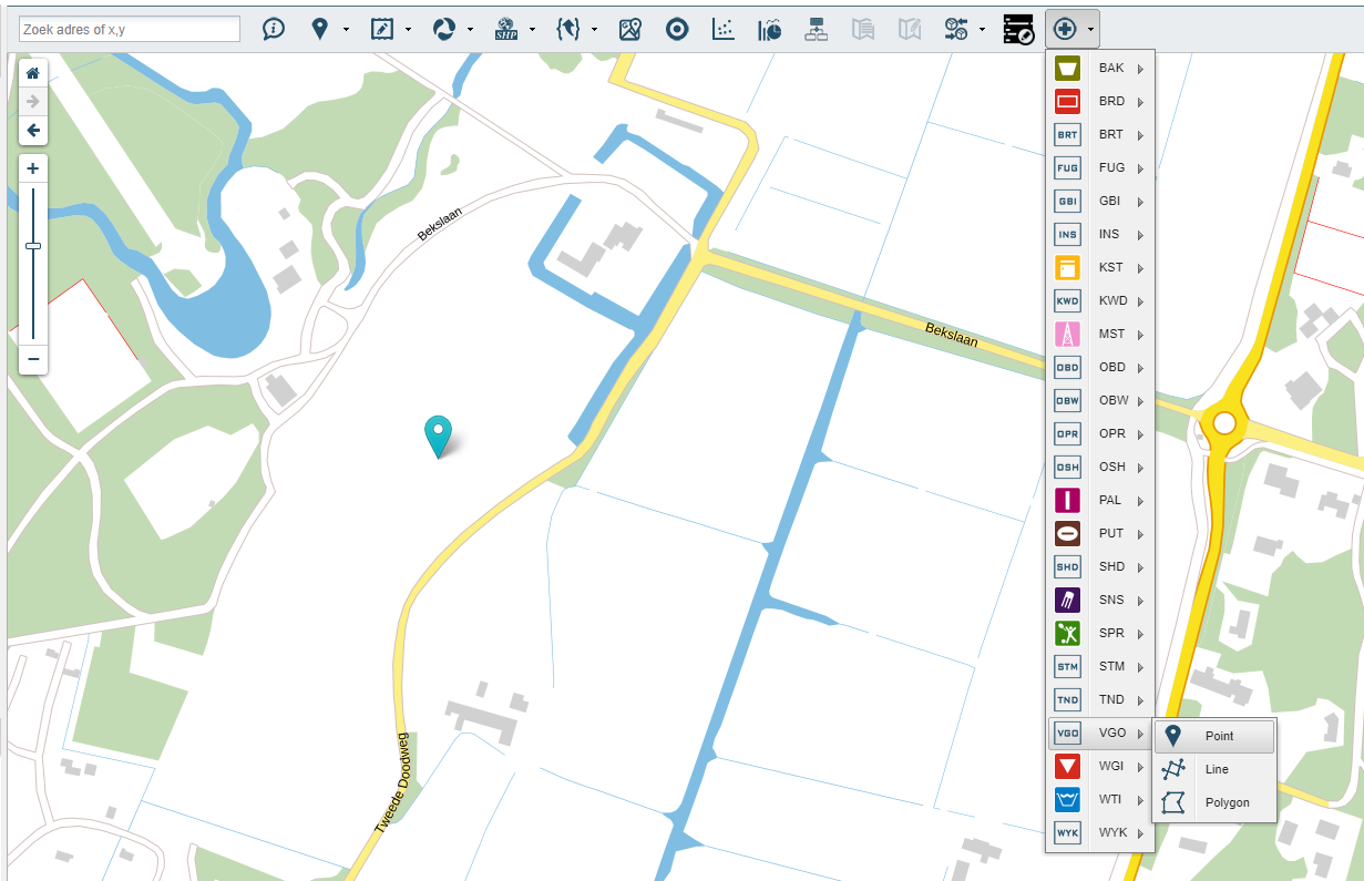
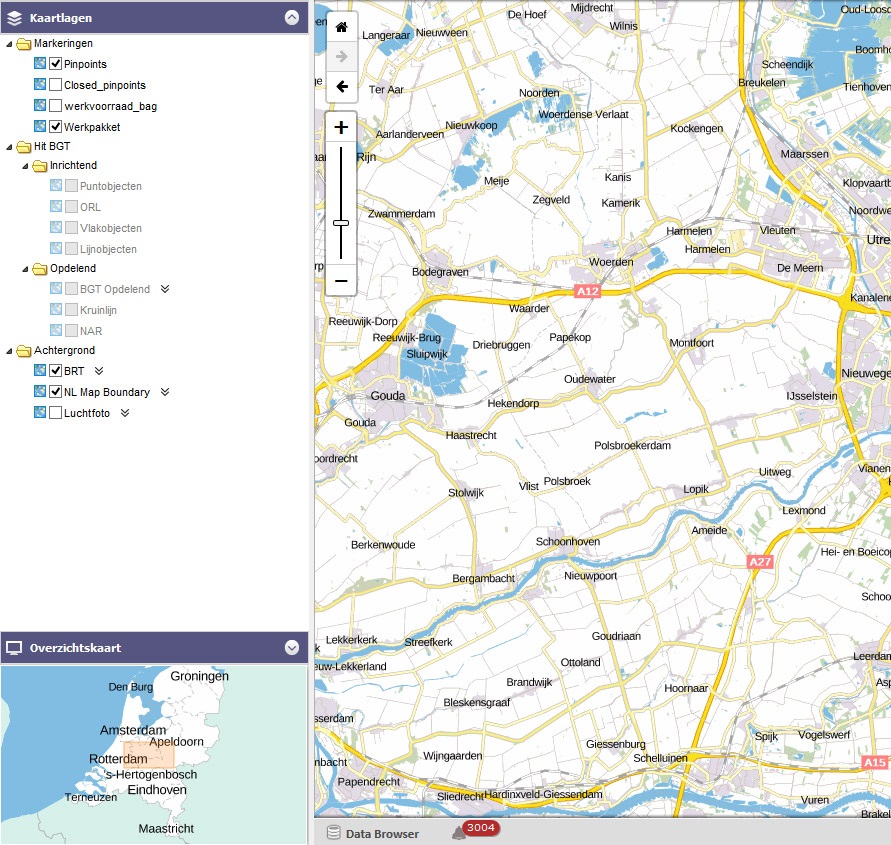
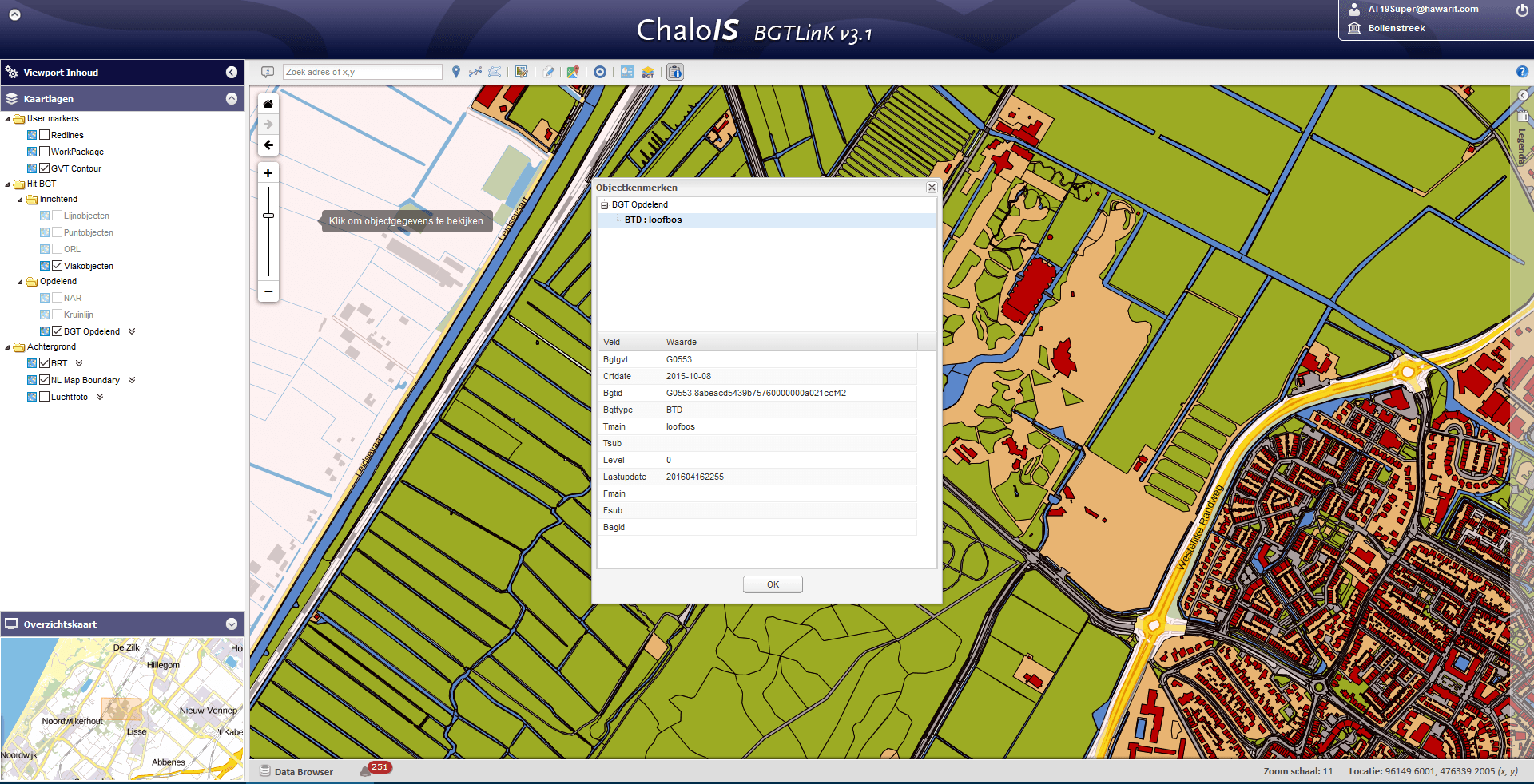
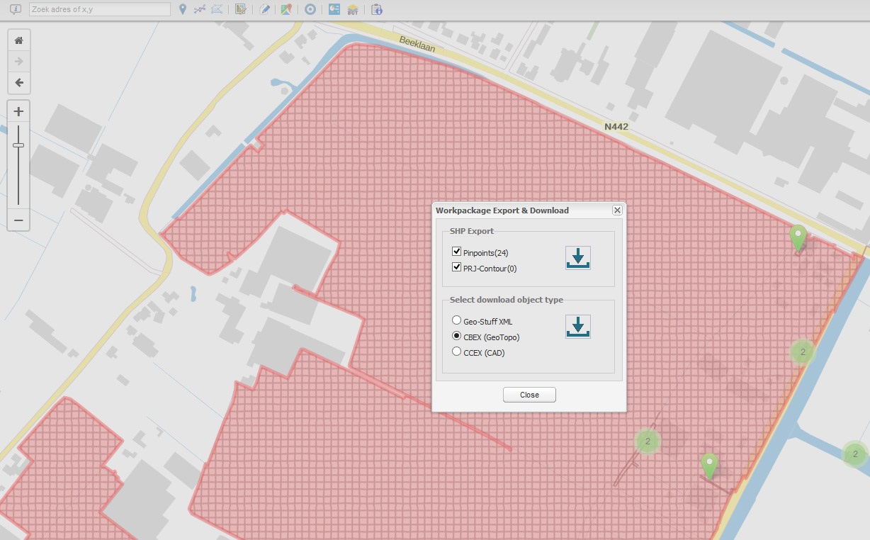
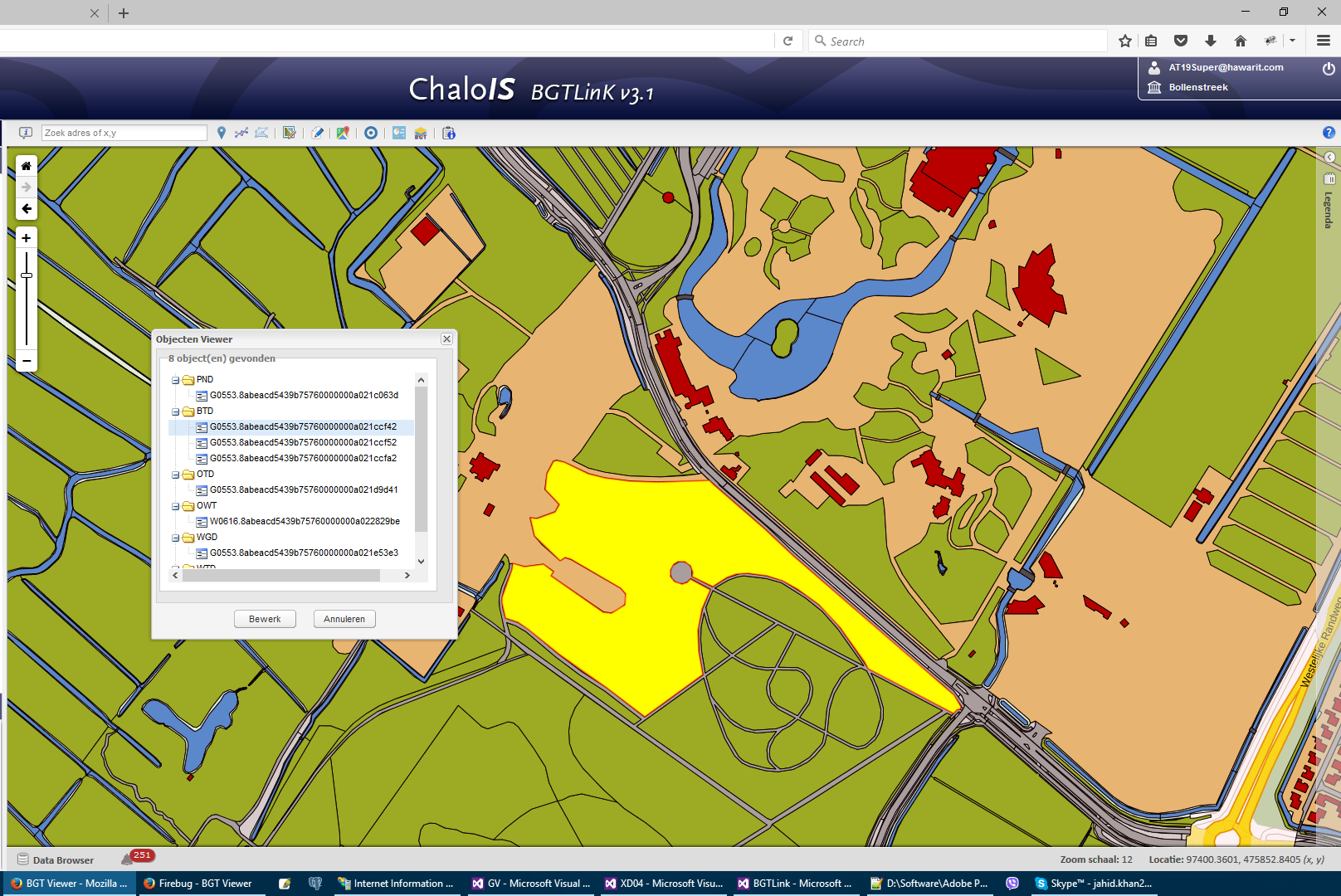
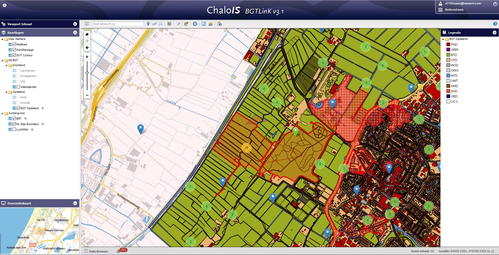
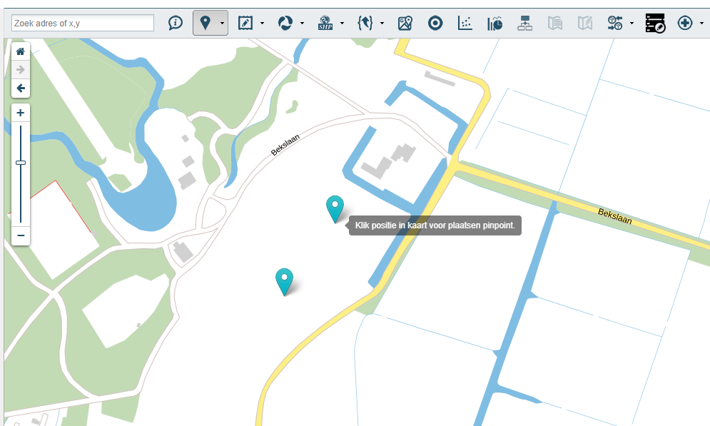
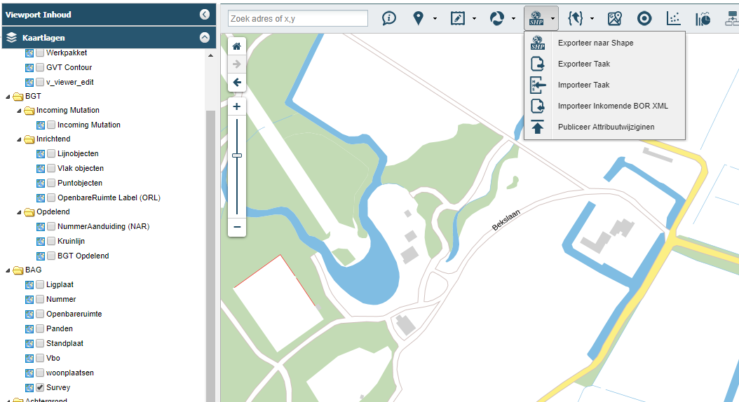
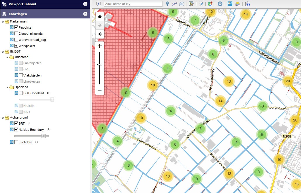
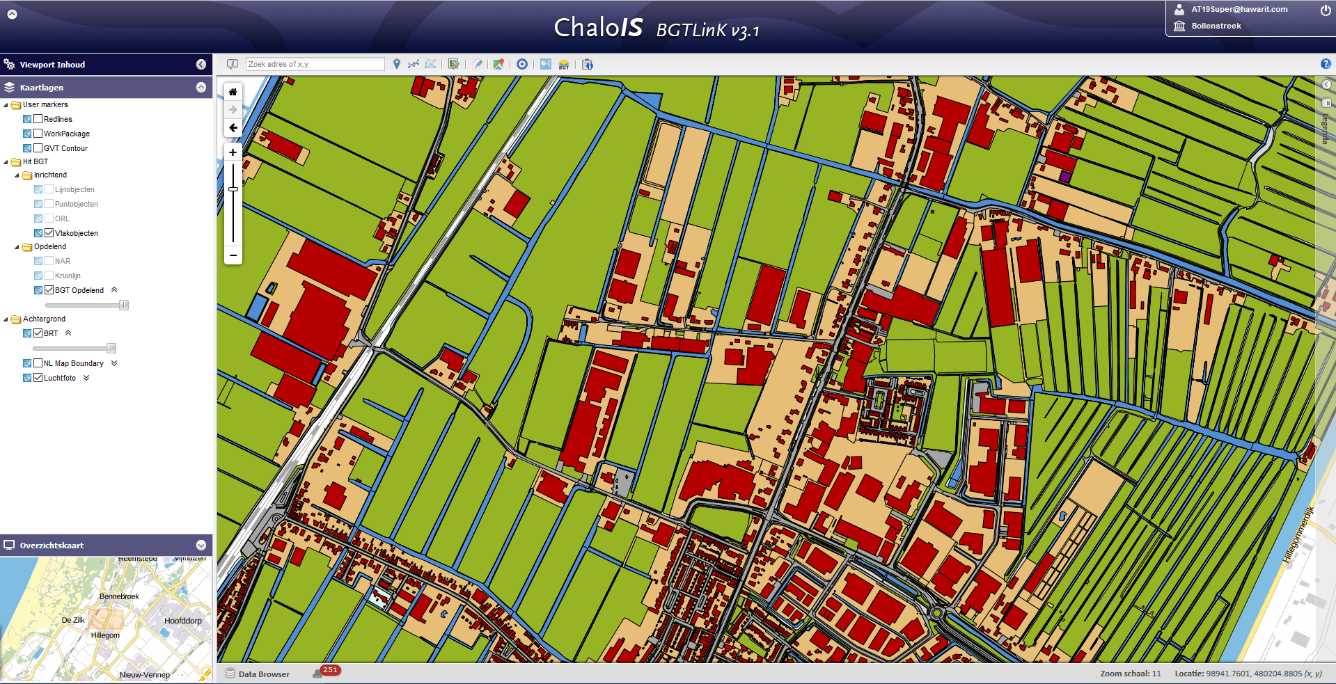
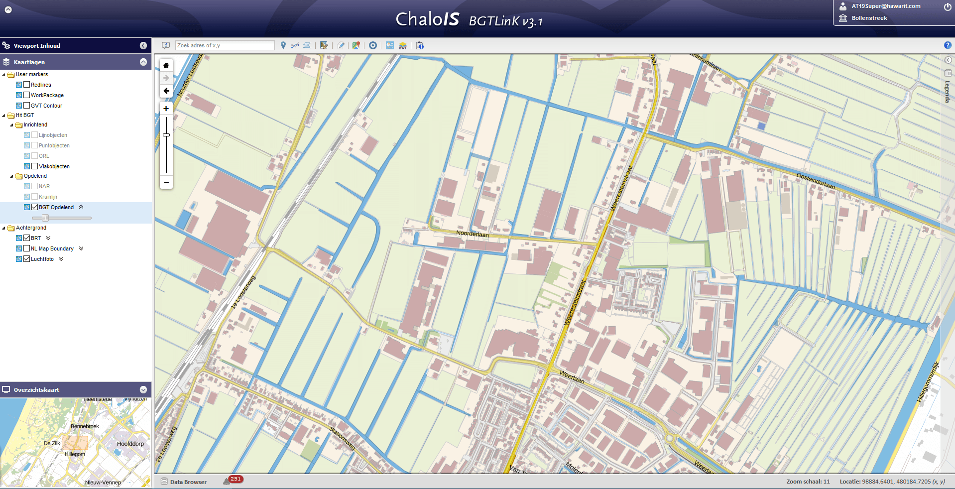

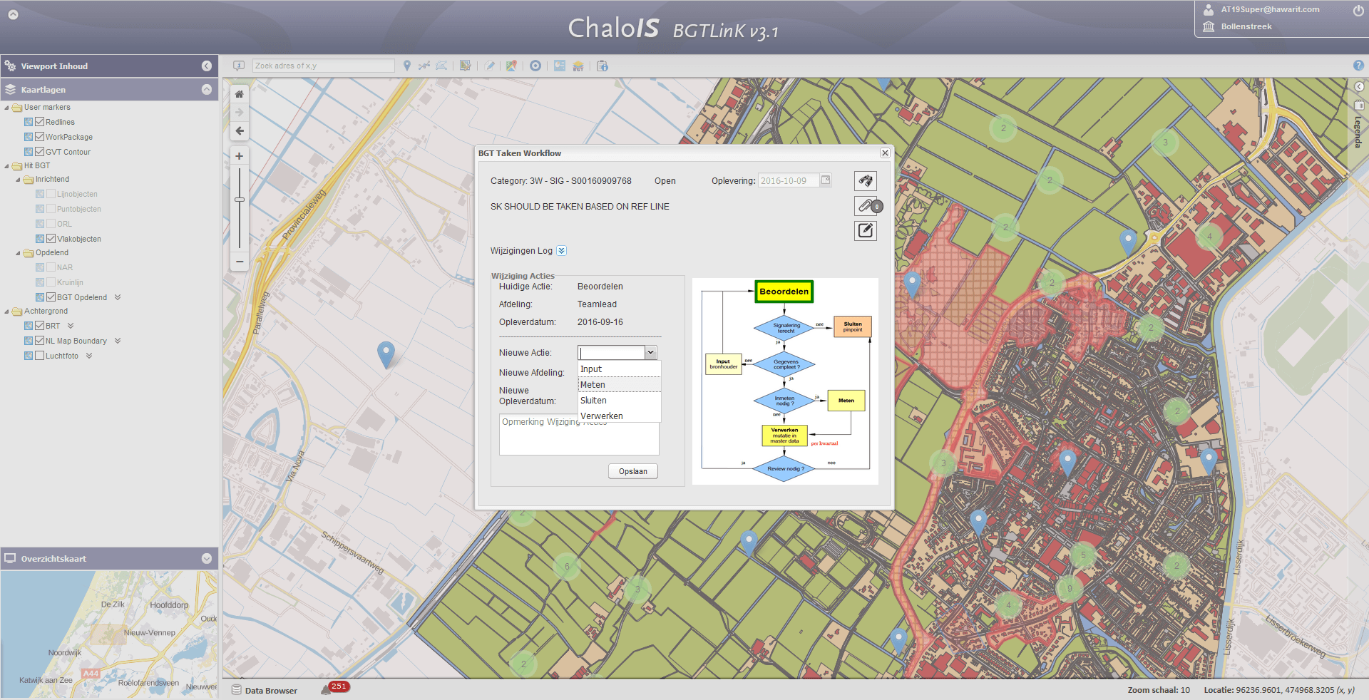
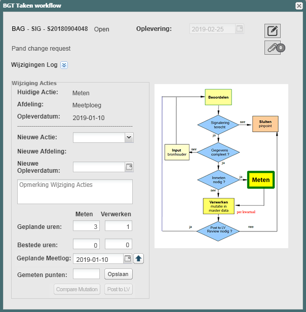
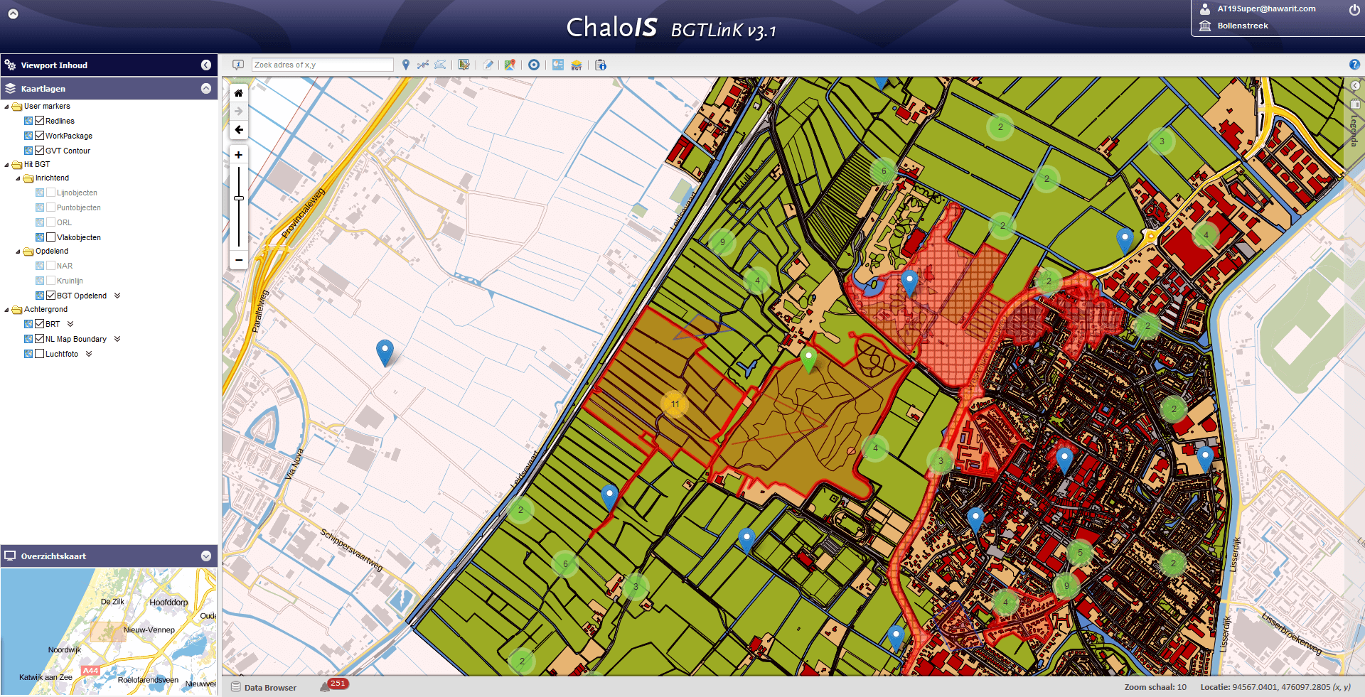
Features:
- Sophisticated Layer Tree
- Sophisticated Legend Panel
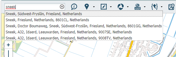
- Robust Search Module
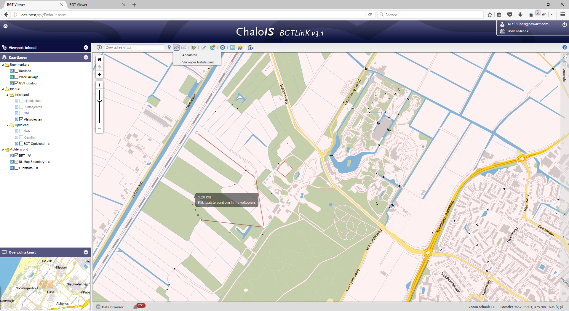
- Spatial Issue Management(Pinpointing[Marker, Line, Polygon])
- Workspace Management
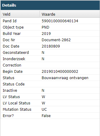
- Feature Attribute Viewer
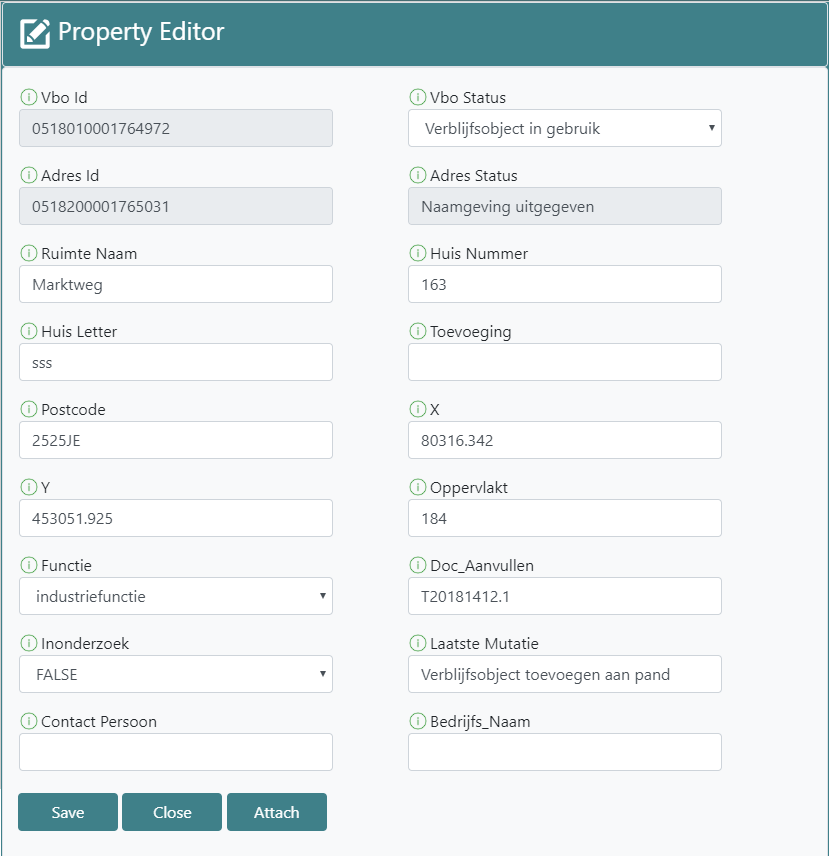
- Feature Attribute Editing
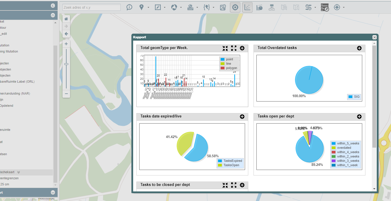
- Dashboard
- Feature Export (SHAPE,GML)
- Feature Import
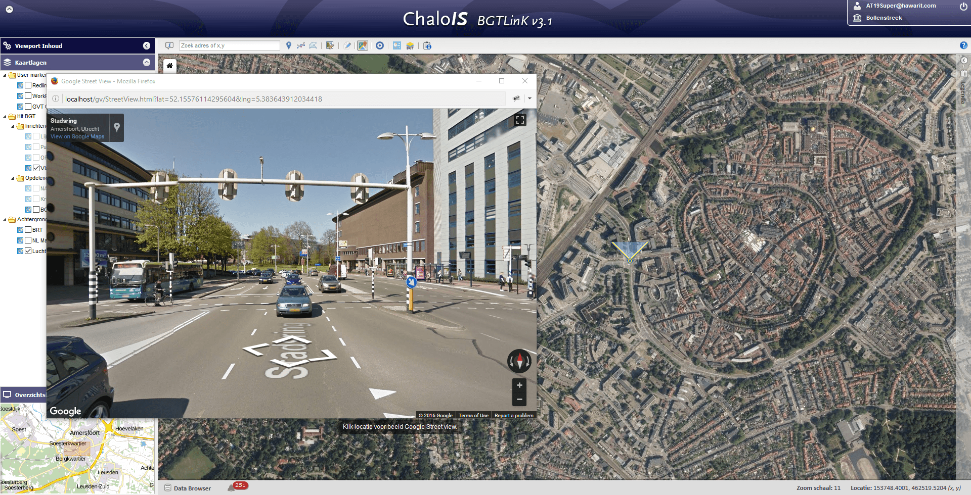
- Google Street Viewer Plugin
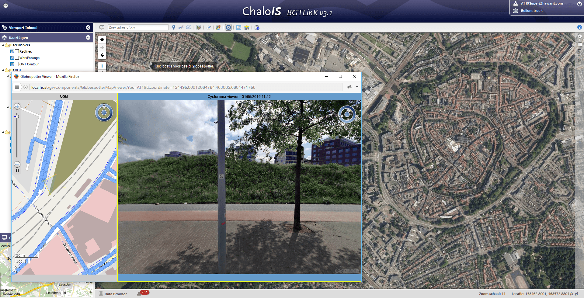
- Globe Spotter Street Viewer Plugin
- Overview Navigator
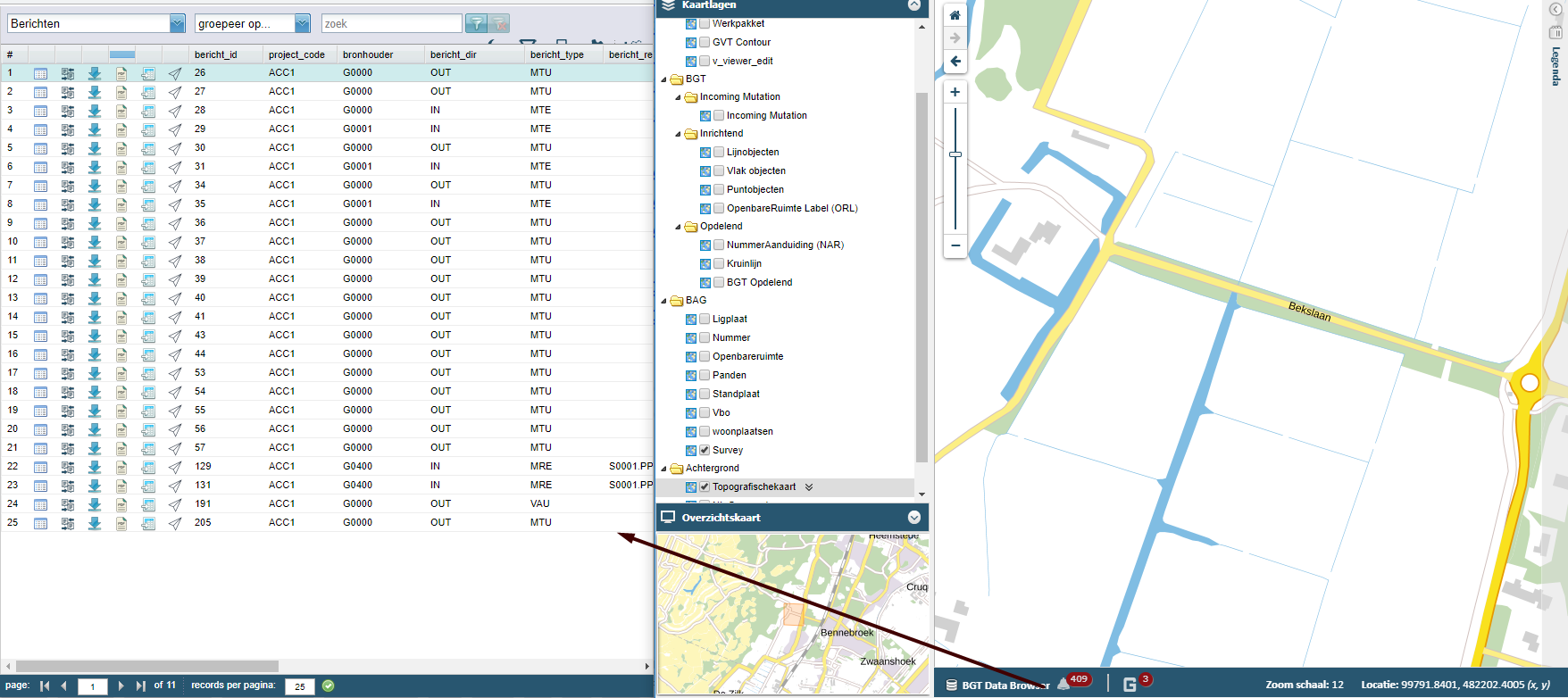
- Map Object Browser
- Role-Based Authorization On Tools & Layers
Solutions:
- BGT Viewer (2D/3D): Web based basic registration of Large-Scale Topography is a detailed map of the Netherlands in which objects such as roads, water, railway lines and greenery are recorded in a clear manner for Dutch Government.
- BAG Viewer (2D/3D): Web based building data & permission management system for Dutch Government. Buildings can be viewed in different angle in the 3D viewer for a clear understanding.